
Central Florida woke up on Tuesday, Nov. 11, to some of the season’s coldest air, as an unusually strong cold front prompted freeze warnings, frost advisories, and record-breaking temperatures in several cities. Meteorologists say it is the earliest the region has experienced such a temperature drop since 1993.
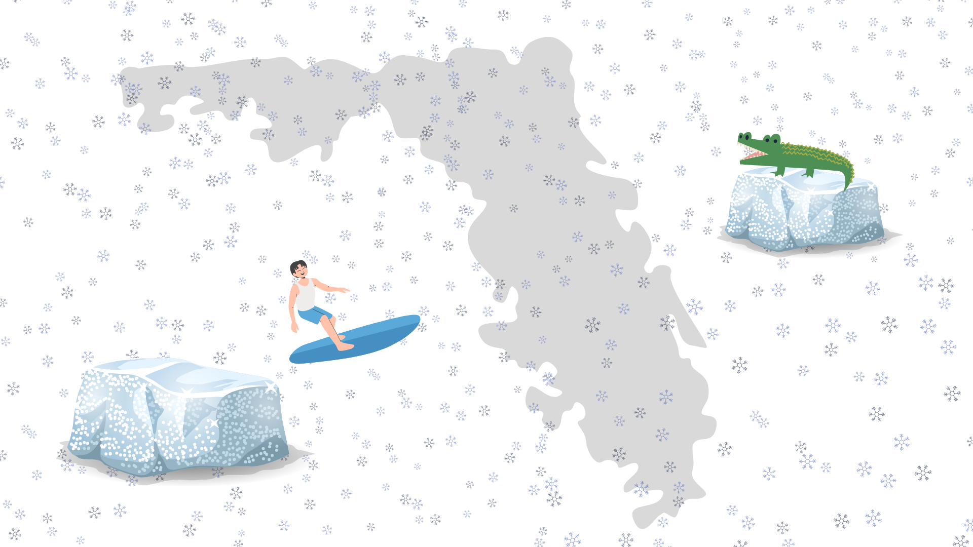
Temperatures fell into the mid-30s across Central Florida, with Orlando reaching 36 degrees — the lowest temperature recorded on Nov. 11 in more than 90 years — according to the National Weather Service.
The cold front prompted freeze warnings and frost advisories across the state until 8 a.m. on Wednesday, Nov. 13, according to the Florida Division of Emergency Management. Emergency officials urged residents to protect themselves, vulnerable plants, and pets, as subfreezing temperatures developed overnight in some areas.
A freeze warning is issued when temperatures are expected to fall below 32 degrees for a prolonged period, posing risks to different species, property, and crops. A frost advisory indicates temperatures in the mid-30s that could potentially damage vegetation. Subfreezing temperatures can threaten plants, endanger exposed animals, and increase the risk of frostbite and hypothermia for people outdoors without proper protection.
Lee Lines (Ph.D.), an environmental studies professor at Rollins College whose interests include climate change and conservation of Florida biodiversity, said the cold front was “anomalous” for this time of year. “This one we got was much colder than usual for November,” he said. “Because it was such a strong cold front, we may not get another one like this for a while — probably not until sometime in December.”
Lines explained that while research on climate change has not yet documented whether cold fronts are becoming more or less frequent, warming ocean temperatures may influence how far south such fronts can travel. “The warmer the ocean is, the warmer the air sitting around it,” he said. “In theory, that could make cold fronts less likely to penetrate far into the state.” He also added that Orlando sits on a dividing line: “The really powerful ones can make it all the way down to South Florida, but the ones that aren’t as strong tend to fizzle out somewhere between Orlando and West Palm Beach.”
Sudden temperature drops can have significant impacts on Florida’s ecosystems and agriculture. Lines noted that freezes in the 1980s and ’90s contributed to long-term changes in the region’s agricultural output. “There was a time when Winter Park and Orlando were full of orange groves,” he said. “If you go now, it’s all suburban neighborhoods. Some of the shift was due to real estate, but a lot of it was also due to some big freezes back then.”
Florida’s geography makes the state particularly sensitive to sudden cold air outbreaks. As a peninsula stretching from temperate climates in the north to subtropical climates in the south, the state experiences strong environmental transitions during severe temperature changes.
Lines encourages students, many of whom come from other states and countries, to pay attention to these weather events. “I like Rollins students to understand the weather here,” he said. “If you develop the ability to read the weather, it helps you appreciate the place where you go to school.”
Meteorologists say temperatures should gradually warm through the week. For now, Central Florida’s early cold front is just a sharp reminder that even the Sunshine State can shiver.


Comments are closed.